TagsChattahoochee RiverIsland FordMarietta Paper CompanySope CreekVickery Creek
Home Three reminders of the Chattahoochee's River past
The complete guide to the Chattahoochee River
Three reminders of the Chattahoochee’s River past

Had conservationists and the federal government not stepped up to protect the Chattahoochee from creeping development in the 1970s, the lush forests enjoyed today by nearly 3 million visitors each year might have become apartment complexes. And the rich reminders of the river’s past found along the banks, up the creeks, and among the shoals could have been completely wiped out.
Fish weirs
Native Americans who lived along the river, the longtime dividing line between the Cherokee and Creek nations, built weirs, V- or W-shaped rock dams that funnel fish into a pool from which they can be easily caught. Historians consider the 11 remaining weirs the oldest traces of the people who settled along the river. They are thought to have given the Chattahoochee its name, “the river of painted rocks,” for the colorful stones rising from its waters.
Tributaries
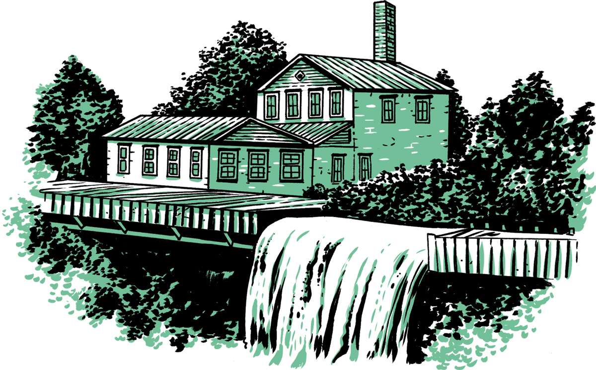
After building dams and controlling water flow, entrepreneurs found the area ideal for mills making textiles, grist, and paper. One mill, the Marietta Paper Company, was burned by Union soldiers who suspected it of printing money for the Confederacy. Ruins of Sope Creek Mill can be seen along east Cobb County’s Sope Creek and Roswell’s Vickery Creek.
Rock shelters
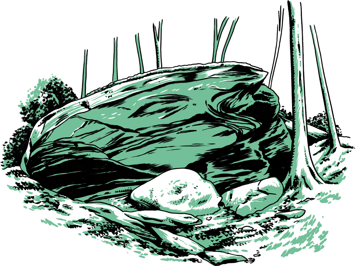
Some of the large rock overhangs along the river—the trails of Island Ford in Sandy Springs are dotted with them—are made of hard stone that has withstood millions of years of erosion. Geologists believe, based on arrowheads found in the area, that prehistoric people who settled along the river 10,000 years ago used the bedrock overhangs hugging the waterway as shelters.
‘Hooch fact
Before bridges were built, Native Americans traversed the river in shallow areas called fords. Many of today’s well-traveled roads—Shallowford, for example—took their names from these crossings.
Illustrations by Joel Kimmel
NEWSLETTERS