Photograph by Floyd Jillison from the Floyd Jillison Photograph Collection at the Kenan Research Center
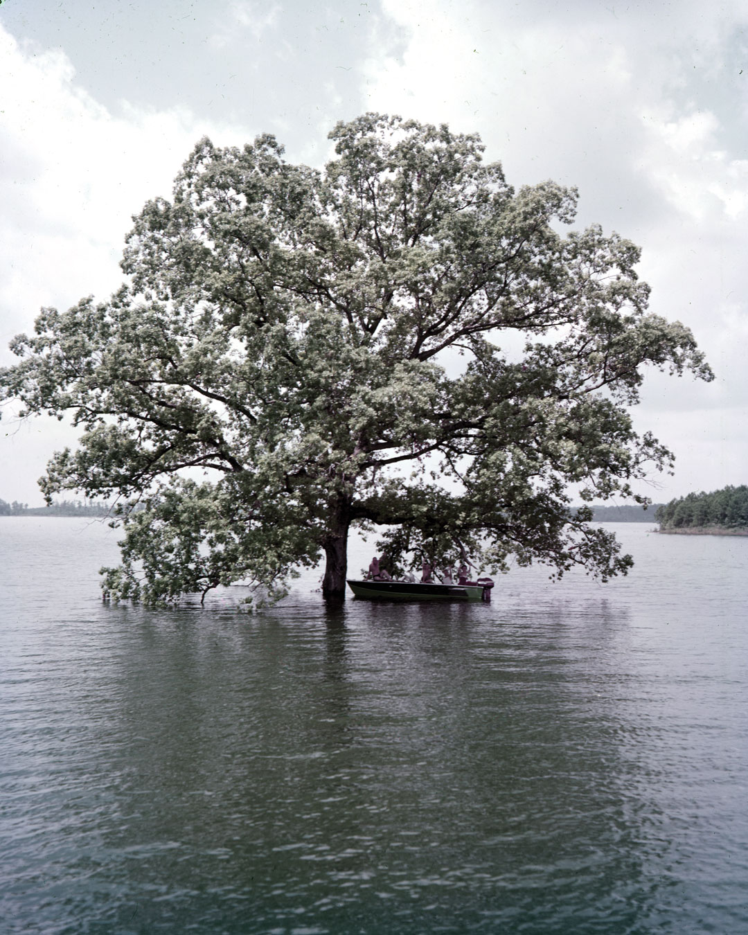
When crews broke ground on Buford Dam in 1950, the almost 39,000-acre area that would become Lake Lanier was home to a smattering of communities. Approximately 700 families lived in the low-rolling foothills, buried their dead in its soil, and, for a good time on weekends, watched stock cars zip around the Gainesville Speedway. After the reservoir reached full pool in the late 1950s, people returned—only to its surface—and Lanier became a workhorse to quench a growing region’s thirst and the subject of a nearly 30-year water war between Georgia, Alabama, and Florida. During severe droughts, such as the one in 2007, the water level drops, occasionally revealing the track grandstands and other remnants of the area’s former life.
This article appears in our July 2018 issue.

")